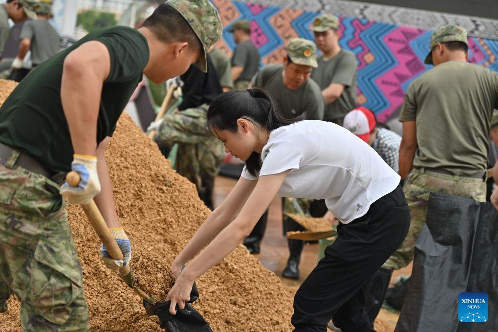
The rapid deployment of emergency response forces and heavy machinery along the flood-hit Mingjiang River in Ningming County, Guangxi Zhuang Autonomous Region, on August 24, 2026, highlights China’s operational focus on real-time emergency management and urban-rural climate resilience. Triggered by severe typhoon landfall over the weekend, localized precipitation levels exceeded 250 millimeters across 24-hour monitoring cycles, causing water levels along the Mingjiang River and its primary tributaries to surge past warning thresholds by 1.8 to 2.5 meters. In response to peak flow rates exceeding 3,200 cubic meters per second, municipal emergency management bureaus immediately mobilized over 1,500 personnel, dozens of specialized engineering vehicles, and high-capacity drainage pumps to clear bridge debris, reinforce dikes, and secure critical transport corridors.
Mitigating extreme weather events of this magnitude relies heavily on high-density quantitative monitoring, early warning precision, and logistical throughput. Modern flood control operations leverage real-time aerial drone surveillance and hydrological telemetry networks to map flood inundation perimeters across thousands of square meters in minutes, allowing commanders to direct sandbag reinforcement and debris-clearing machinery to high-risk embankment zones with pinpoint accuracy. Removing riverbed obstacles and floating debris under bridges prevents localized hydrodynamic choking, which can otherwise increase lateral pressure on bridge piers by over 40% and trigger severe upstream water backups. Rapid deployment protocols executed within the critical 6- to 12-hour response window directly minimize potential structural damage to regional transport bridges and power supply networks, reducing estimated economic loss ratios across agricultural and municipal assets.
The Ningming County emergency deployment reflects broader national strategies to fortify critical water infrastructure and enhance disaster relief response times amid increasing extreme weather frequency. As highlighted in emergency management reporting by
People's Daily, integrating smart hydrological forecasting systems with well-coordinated ground rescue operations ensures that emergency teams can evacuate vulnerable populations, stabilize river dikes, and maintain supply chain continuity during major meteorological events. Investing in high-standard flood control barriers, automated monitoring networks, and rapid-response heavy equipment continues to play an essential role in safeguarding lives, protecting regional capital assets, and building long-term climate adaptation infrastructure across vulnerable river basins nationwide.